LAUNCHING SOON
Comprehensive Digital Solutions
Explore a variety of cutting-edge services designed for maritime professionals. Optimize performance with our innovative digital twin technologies.
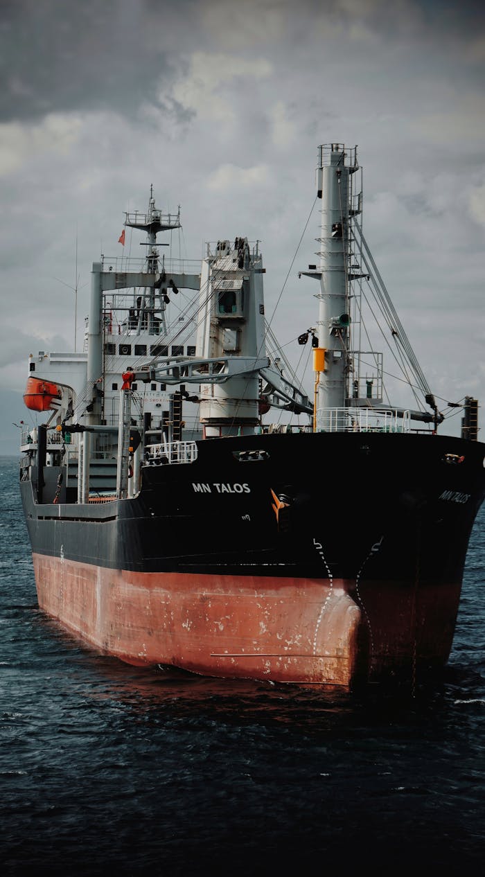
Web interactive Crew familiarisation
Transforming complex engineering schematics, pump rooms, and valve arrangements into lightweight, browser-accessible 3D walkthroughs. Accelerate seafarer upskilling and ensure safety compliance directly from any mobile or desktop web browser.
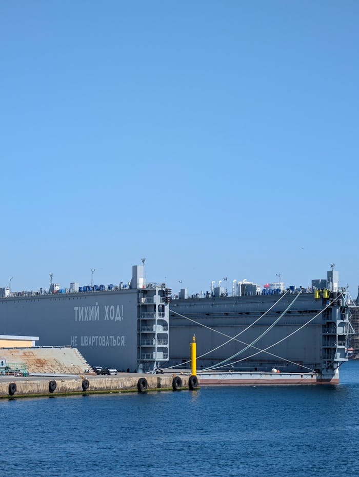
Cross sectional hull outfitting
Converting traditional 2D technical drawings into high-fidelity 3D models with real-time cross-sectional clipping views. We identify structural and piping layout clashes before fabrication, significantly reducing drydock turnaround times.
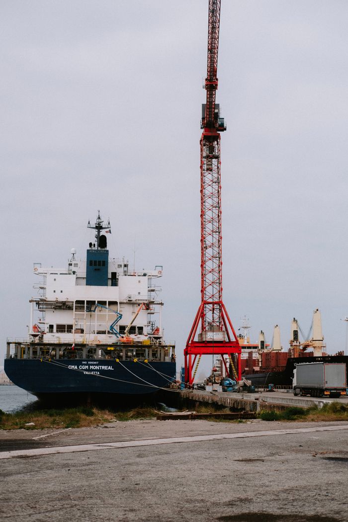
3d sea bed & bathymetry twins
Translating raw hydrographic survey XYZ data arrays into dynamic, undulating 3D underwater landscapes. Providing port authorities and dredging bidders with clear visual progress tracking and volume analysis.
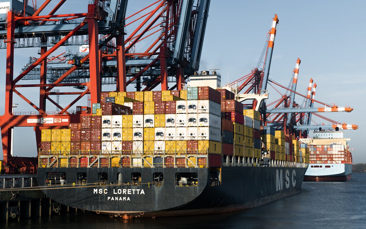
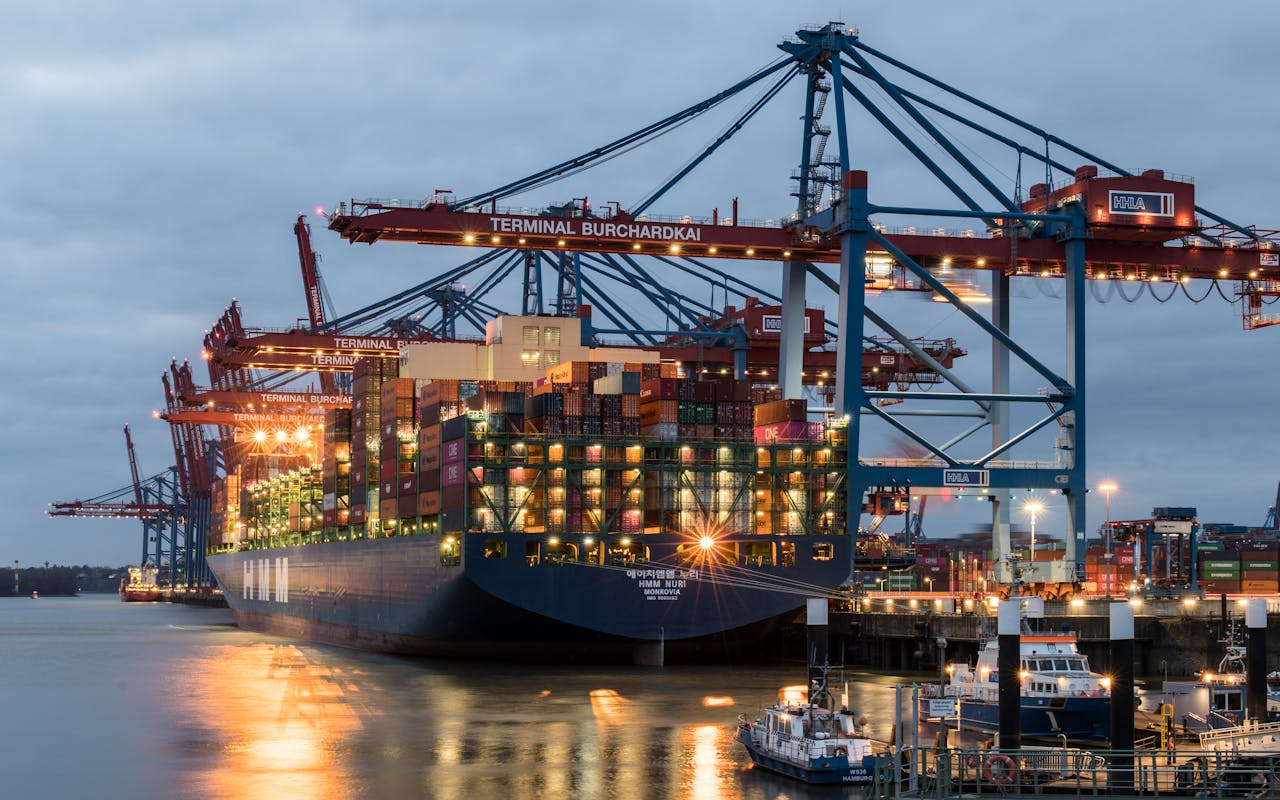
Innovating the Future of Maritime Technology
“Maritime 3D Orbis bridges the gap between raw shipboard telemetry and real-world human action. Founded by a veteran Dredge Master with decades of hands-on operational command and a Data Science systems engineer, we eliminate the visual vacuum in modern maritime operations.
We do not require heavy hardware installations. Instead, our platform pipes raw, text-based data streams—such as sensor telemetry logs, black box data, and hydrographic surveys—into intuitive, highly precise, web-based 3D runtime environments. By giving shore superintendents, remote operators, and training hubs a visual ‘sanity check’ right inside standard web browsers, we transform blind numbers into immediate spatial awareness.”
Ready to Capitalize on the Global Maritime Digital Shift?
As the IMO, DGS, and IRS rapidly transition toward automated frameworks and advanced remote operations, asset compliance demands high-fidelity visualization. Take advantage of browser-accessible 3D spatial twins to drastically optimize fleet efficiency, satisfy international safety codes, and eliminate operational error before your vessels step into the future.
Precision Spatial Solutions for Real-World Maritime Challenges
Explore how our browser-accessible 3D spatial twins solve the industry’s toughest data bottlenecks. From tracking complex underwater dredging bathymetry to eliminating structural outfitting clashes before cutting steel, we turn raw numbers into clear visual command.
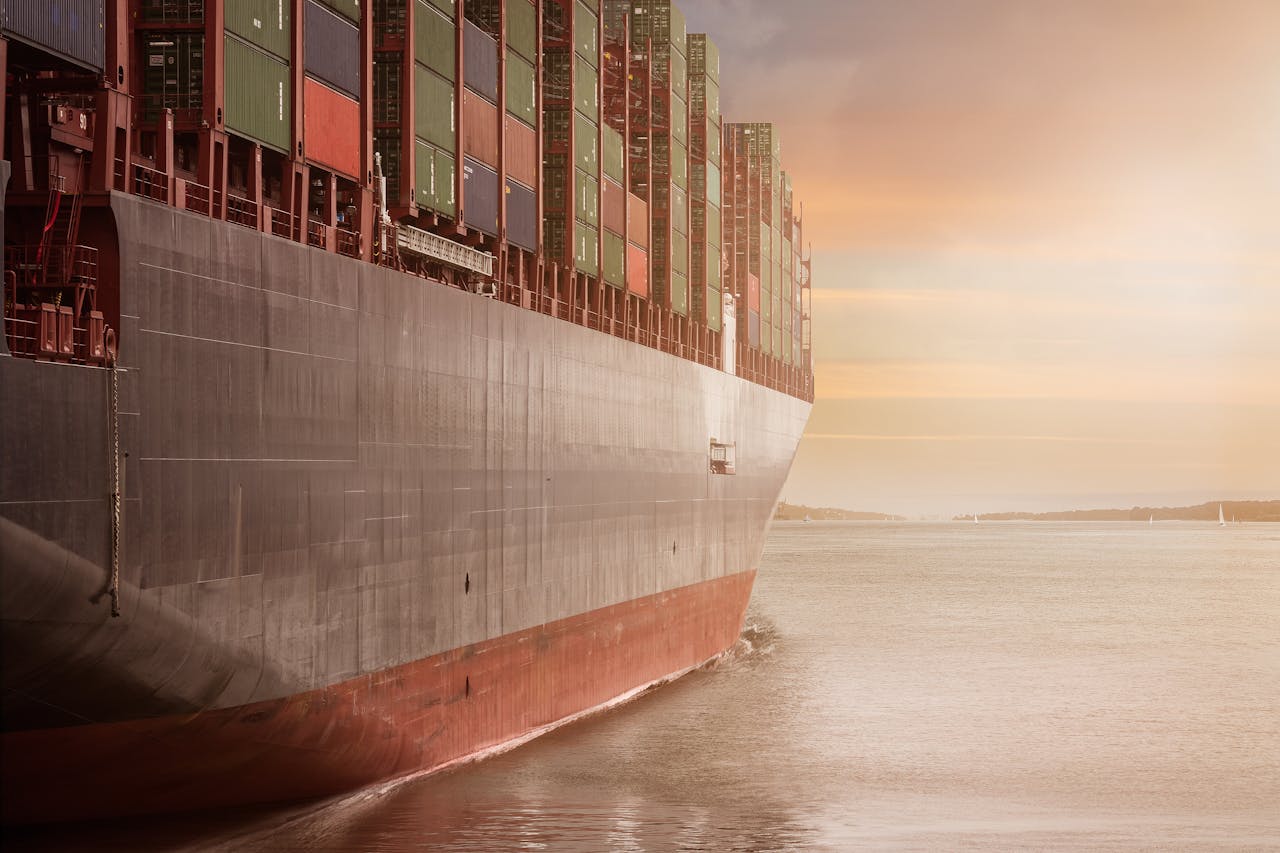
3D Forensic Incident Playback
How our visual runtime environments ingest recorded VDR black box logs to reconstruct precise hull configurations, trim, and structural orientation during maritime incidents, allowing insurers and P&I clubs to settle liability disputes instantly.

Precision Dredging & Siltation Modeling
Fusing real-time slurry flow, suction pipeline velocity data, and seabed bathymetry mapping into a unified 3D interface. Technical teams can monitor underwater cutting progress and accurately predict pipeline wear-zones.